Latitude: 52.4877 / 52°29'15"N
Longitude: -2.8176 / 2°49'3"W
OS Eastings: 344578
OS Northings: 288068
OS Grid: SO445880
Mapcode National: GBR BF.JC10
Mapcode Global: VH761.3QSS
Pluscode: 9C4VF5QJ+3X
What3Words: alley.flitting.undulation
Is the location marker in the wrong place? You can help fix that!
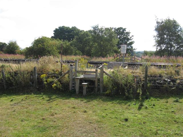
We don't yet have any user-contributed photos of Bush Moor Level Crossing.