Latitude: 56.9736 / 56°58'25"N
Longitude: -5.8222 / 5°49'19"W
OS Eastings: 167808
OS Northings: 793434
OS Grid: NM678934
Mapcode National: GBR DB09.1XR
Mapcode Global: WGZBC.JZRB
Pluscode: 9C8PX5FH+C4
What3Words: bleaker.fattening.pilots
Is the location marker in the wrong place? You can help fix that!
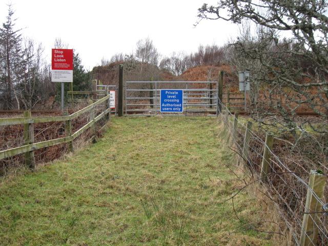
We don't yet have any user-contributed photos of Camus Aird Level Crossing.