Latitude: 56.8595 / 56°51'34"N
Longitude: -5.3212 / 5°19'16"W
OS Eastings: 197623
OS Northings: 779145
OS Grid: NM976791
Mapcode National: GBR FB7L.9CZ
Mapcode Global: WH1FG.7VC9
Pluscode: 9C8PVM5H+QG
What3Words: only.putter.microchip
Is the location marker in the wrong place? You can help fix that!
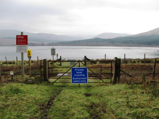
We don't yet have any user-contributed photos of Camus An Eng Farm 1 Level Crossing.