Latitude: 56.8596 / 56°51'34"N
Longitude: -5.3235 / 5°19'24"W
OS Eastings: 197485
OS Northings: 779167
OS Grid: NM974791
Mapcode National: GBR FB7L.8BT
Mapcode Global: WH1FG.6V86
Pluscode: 9C8PVM5G+RJ
What3Words: wrong.september.blending
Is the location marker in the wrong place? You can help fix that!
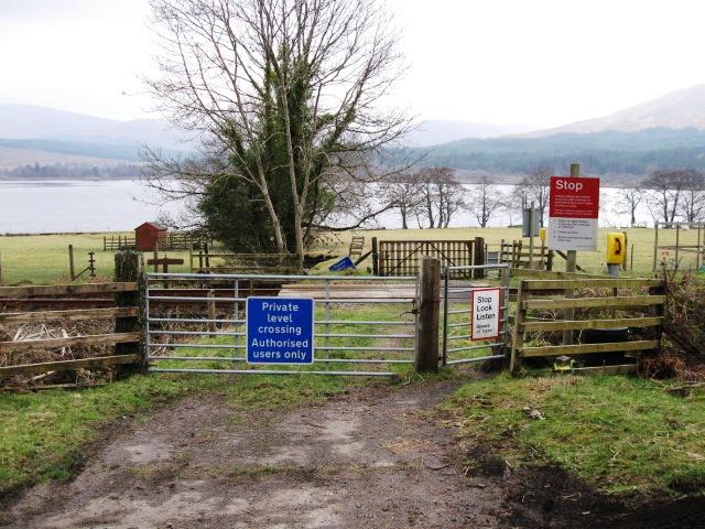
We don't yet have any user-contributed photos of Camus An Eng Farm 2 Level Crossing.