Latitude: 56.8597 / 56°51'35"N
Longitude: -5.3257 / 5°19'32"W
OS Eastings: 197352
OS Northings: 779187
OS Grid: NM973791
Mapcode National: GBR FB7L.7BS
Mapcode Global: WH1FG.5V73
Pluscode: 9C8PVM5F+VP
What3Words: livid.number.split
Is the location marker in the wrong place? You can help fix that!
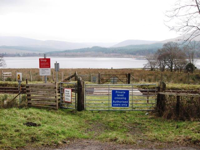
We don't yet have any user-contributed photos of Camus An Eng Farm 3 Level Crossing.