Latitude: 57.3613 / 57°21'40"N
Longitude: -2.7825 / 2°46'56"W
OS Eastings: 353024
OS Northings: 830358
OS Grid: NJ530303
Mapcode National: GBR M9H8.81Y
Mapcode Global: WH7M5.778M
Pluscode: 9C9V9669+G2
What3Words: conducted.bulk.jazz
Is the location marker in the wrong place? You can help fix that!
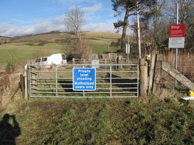
We don't yet have any user-contributed photos of Candy Farm Level Crossing.