Latitude: 54.1689 / 54°10'8"N
Longitude: -2.9439 / 2°56'38"W
OS Eastings: 338475
OS Northings: 475202
OS Grid: SD384752
Mapcode National: GBR 7NW7.GB
Mapcode Global: WH83K.RGBW
Pluscode: 9C6V5394+HC
What3Words: famines.beauty.gift
Is the location marker in the wrong place? You can help fix that!
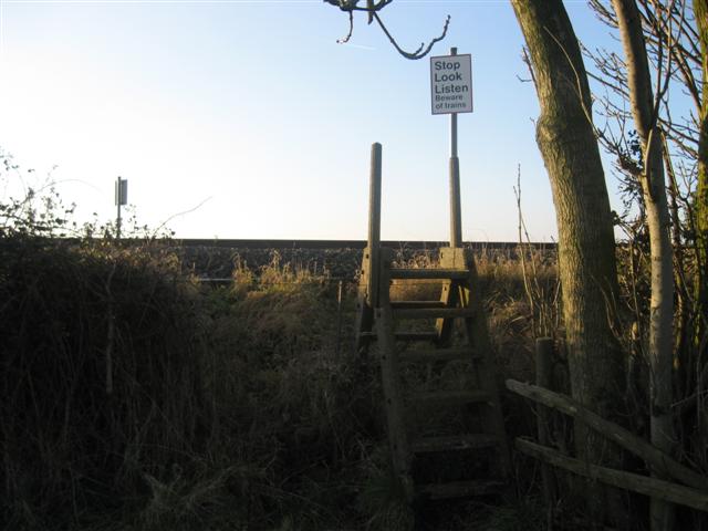
We don't yet have any user-contributed photos of Cark Airfield Level Crossing.