Latitude: 56.5005 / 56°30'1"N
Longitude: -2.7066 / 2°42'23"W
OS Eastings: 356600
OS Northings: 734487
OS Grid: NO566344
Mapcode National: GBR VR.QKB2
Mapcode Global: WH7R8.DWD1
Pluscode: 9C8VG72V+59
What3Words: curtail.slouched.mulls
Is the location marker in the wrong place? You can help fix that!
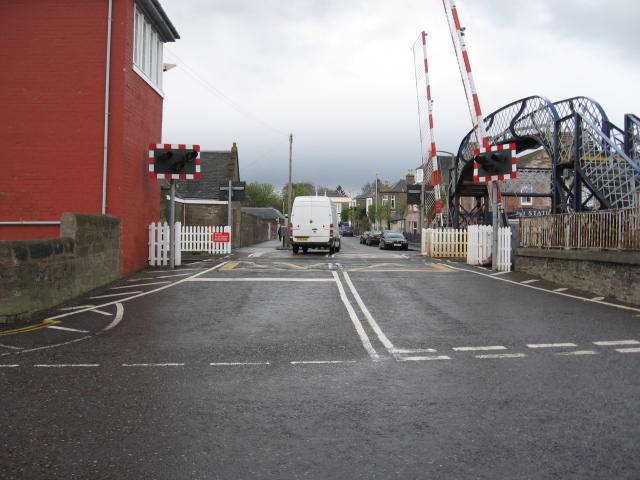
We don't yet have any user-contributed photos of Carnoustie Level Crossing.