Latitude: 53.74 / 53°44'23"N
Longitude: -0.6701 / 0°40'12"W
OS Eastings: 487815
OS Northings: 427888
OS Grid: SE878278
Mapcode National: GBR RTR6.Q1
Mapcode Global: WHGFL.P836
Pluscode: 9C5XP8QH+XX
What3Words: unzipped.planting.supper
Is the location marker in the wrong place? You can help fix that!
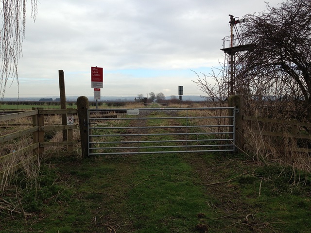
We don't yet have any user-contributed photos of Carr Dyke Lane Level Crossing.