Latitude: 54.8332 / 54°49'59"N
Longitude: -3.0746 / 3°4'28"W
OS Eastings: 331073
OS Northings: 549237
OS Grid: NY310492
Mapcode National: GBR 6DZK.57
Mapcode Global: WH6Z2.RS35
Pluscode: 9C6RRWMG+75
What3Words: following.crouch.gems
Is the location marker in the wrong place? You can help fix that!
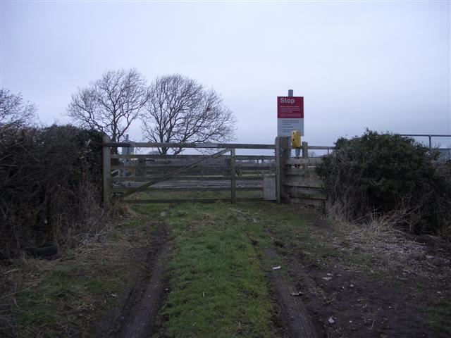
We don't yet have any user-contributed photos of Carrs Level Crossing.