Latitude: 54.1812 / 54°10'52"N
Longitude: -2.919 / 2°55'8"W
OS Eastings: 340120
OS Northings: 476549
OS Grid: SD401765
Mapcode National: GBR 8N12.VX
Mapcode Global: WH83L.458F
Pluscode: 9C6V53JJ+FC
What3Words: swarm.moats.showed
Is the location marker in the wrong place? You can help fix that!
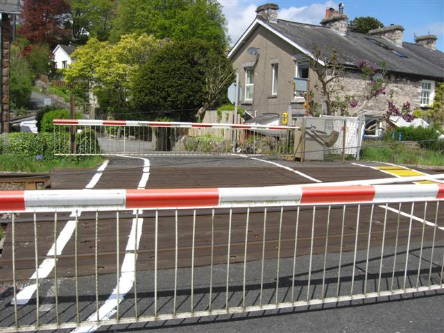
We don't yet have any user-contributed photos of Cart Lane Level Crossing.