Latitude: 54.2241 / 54°13'26"N
Longitude: -3.2585 / 3°15'30"W
OS Eastings: 318047
OS Northings: 481664
OS Grid: SD180816
Mapcode National: GBR 5MPL.BJ
Mapcode Global: WH722.X3H1
Pluscode: 9C6R6PFR+JJ
What3Words: electrode.solder.self
Is the location marker in the wrong place? You can help fix that!
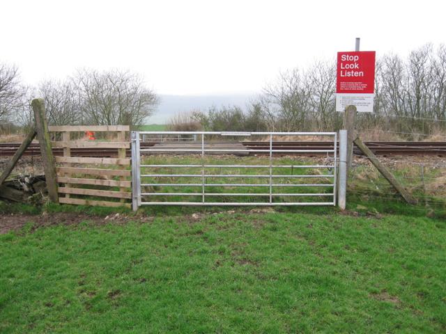
We don't yet have any user-contributed photos of Castle Farm Level Crossing.