Latitude: 54.3422 / 54°20'31"N
Longitude: -1.4474 / 1°26'50"W
OS Eastings: 436024
OS Northings: 494213
OS Grid: SE360942
Mapcode National: GBR LLB7.F6
Mapcode Global: WHD81.Q4Z0
Pluscode: 9C6W8HR3+V2
What3Words: retrieves.unscathed.seating
Is the location marker in the wrong place? You can help fix that!
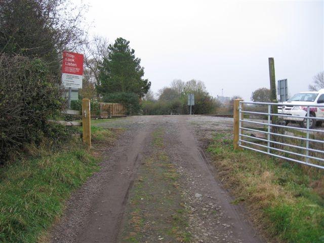
We don't yet have any user-contributed photos of Castle Hills Farm Level Crossing.