Latitude: 52.5525 / 52°33'9"N
Longitude: -3.9328 / 3°55'58"W
OS Eastings: 269050
OS Northings: 296721
OS Grid: SN690967
Mapcode National: GBR 8Z.D6BC
Mapcode Global: VH4DV.S37K
Pluscode: 9C4RH338+2V
What3Words: fatherly.jokes.gilding
Is the location marker in the wrong place? You can help fix that!
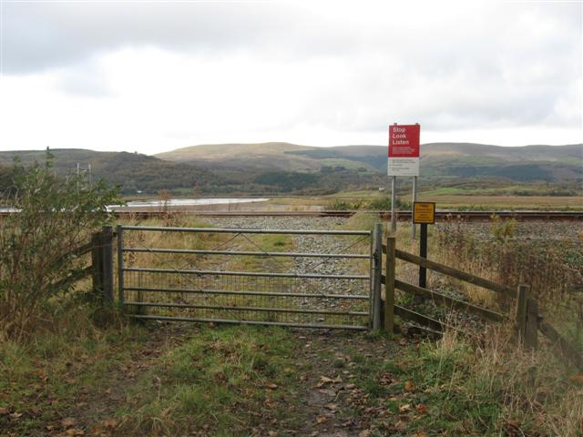
We don't yet have any user-contributed photos of Castle Level Crossing.