Latitude: 54.1778 / 54°10'40"N
Longitude: -2.8085 / 2°48'30"W
OS Eastings: 347325
OS Northings: 476080
OS Grid: SD473760
Mapcode National: GBR 8NT4.R4
Mapcode Global: WH83M.T8S2
Pluscode: 9C6V55HR+4H
What3Words: linguists.breakfast.meatball
Is the location marker in the wrong place? You can help fix that!
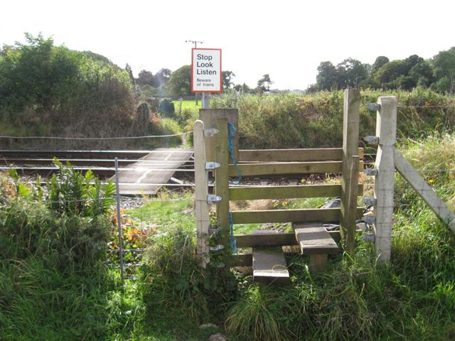
We don't yet have any user-contributed photos of Challan Hall Level Crossing.