Latitude: 54.8744 / 54°52'27"N
Longitude: -4.8593 / 4°51'33"W
OS Eastings: 216640
OS Northings: 557035
OS Grid: NX166570
Mapcode National: GBR GHCT.QX0
Mapcode Global: WH2SH.BR83
Pluscode: 9C6QV4FR+P7
What3Words: unearthly.glove.crunching
Is the location marker in the wrong place? You can help fix that!
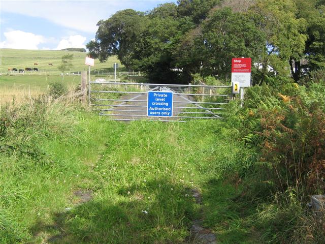
We don't yet have any user-contributed photos of Challoch Level Crossing.