Latitude: 50.9712 / 50°58'16"N
Longitude: 0.8919 / 0°53'30"E
OS Eastings: 603129
OS Northings: 123071
OS Grid: TR031230
Mapcode National: GBR T0C.48Z
Mapcode Global: FRA D6RJ.WTL
Pluscode: 9F22XVCR+FP
What3Words: crate.regarding.appealing
Is the location marker in the wrong place? You can help fix that!
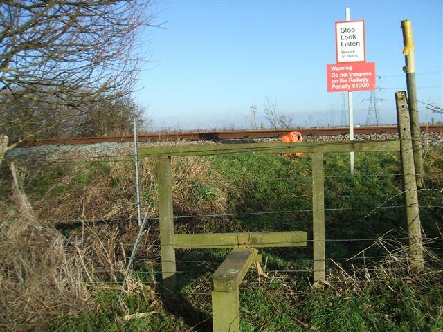
We don't yet have any user-contributed photos of Chapel Bank Level Crossing.