Latitude: 53.5876 / 53°35'15"N
Longitude: -2.7584 / 2°45'30"W
OS Eastings: 349894
OS Northings: 410382
OS Grid: SD498103
Mapcode National: GBR 9V5Y.MN
Mapcode Global: WH86K.L2PZ
Pluscode: 9C5VH6QR+2M
What3Words: areas.handicaps.unloading
Is the location marker in the wrong place? You can help fix that!
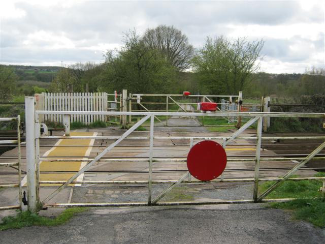
We don't yet have any user-contributed photos of Chapel Lane Level Crossing.