Latitude: 52.5437 / 52°32'37"N
Longitude: -1.9677 / 1°58'3"W
OS Eastings: 402290
OS Northings: 293981
OS Grid: SP022939
Mapcode National: GBR 2JK.D1
Mapcode Global: VH9YN.VB4C
Pluscode: 9C4WG2VJ+FW
What3Words: drops.remote.sprint
Is the location marker in the wrong place? You can help fix that!
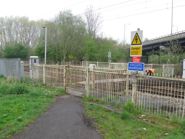
We don't yet have any user-contributed photos of Charlemont Road Level Crossing.