Latitude: 52.8431 / 52°50'35"N
Longitude: -0.1811 / 0°10'51"W
OS Eastings: 522604
OS Northings: 328840
OS Grid: TF226288
Mapcode National: GBR HWH.P21
Mapcode Global: WHHM7.6S1R
Pluscode: 9C4XRRV9+6H
What3Words: scuba.forum.unloading
Is the location marker in the wrong place? You can help fix that!
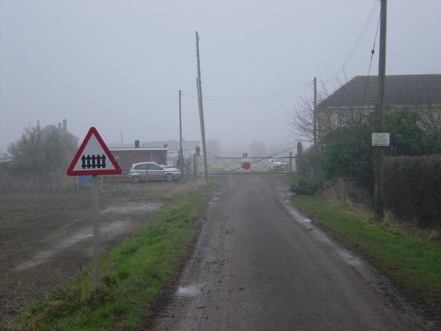
We don't yet have any user-contributed photos of Cheal Road Level Crossing.