Latitude: 53.8457 / 53°50'44"N
Longitude: -0.4234 / 0°25'24"W
OS Eastings: 503824
OS Northings: 439985
OS Grid: TA038399
Mapcode National: GBR TRHZ.44
Mapcode Global: WHGF4.GLMN
Pluscode: 9C5XRHWG+7M
What3Words: battling.eliminate.class
Is the location marker in the wrong place? You can help fix that!
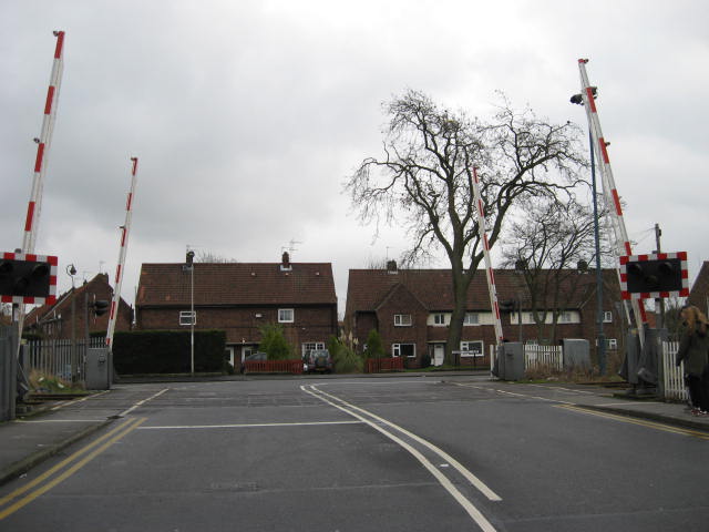
We don't yet have any user-contributed photos of Cherry Tree Level Crossing.