Latitude: 52.9864 / 52°59'10"N
Longitude: -1.0347 / 1°2'4"W
OS Eastings: 464900
OS Northings: 343663
OS Grid: SK649436
Mapcode National: GBR 9JN.P7N
Mapcode Global: WHFHZ.26KD
Pluscode: 9C4WXXP8+H4
What3Words: directive.sunk.corkscrew
Is the location marker in the wrong place? You can help fix that!
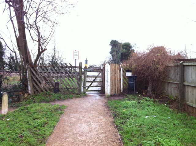
We don't yet have any user-contributed photos of Chestnut Grove Level Crossing.