Latitude: 52.2949 / 52°17'41"N
Longitude: -2.7308 / 2°43'50"W
OS Eastings: 350258
OS Northings: 266556
OS Grid: SO502665
Mapcode National: GBR BK.XGDZ
Mapcode Global: VH84H.ML63
Pluscode: 9C4V77V9+WM
What3Words: flats.ramp.splinters
Is the location marker in the wrong place? You can help fix that!
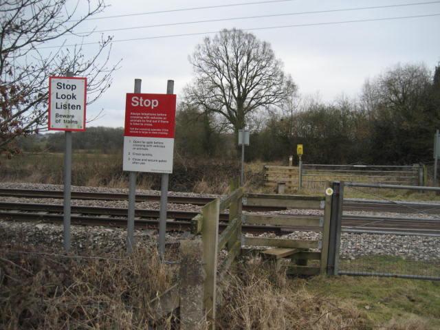
We don't yet have any user-contributed photos of Church House Farm Level Crossing.