Latitude: 51.4426 / 51°26'33"N
Longitude: 0.4689 / 0°28'7"E
OS Eastings: 571675
OS Northings: 174407
OS Grid: TQ716744
Mapcode National: GBR PP0.KCL
Mapcode Global: VHJLF.2ZQY
Pluscode: 9F32CFV9+3G
What3Words: raced.played.soup
Is the location marker in the wrong place? You can help fix that!
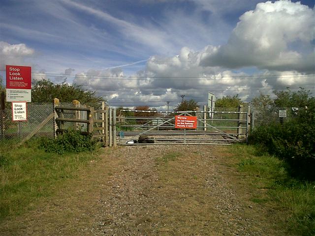
We don't yet have any user-contributed photos of Church Lane Level Crossing.