Latitude: 53.6927 / 53°41'33"N
Longitude: -1.0317 / 1°1'54"W
OS Eastings: 464035
OS Northings: 422244
OS Grid: SE640222
Mapcode National: GBR PT7Q.FZ
Mapcode Global: WHFDH.3FZY
Pluscode: 9C5WMXV9+38
What3Words: frostbite.layover.anchovies
Is the location marker in the wrong place? You can help fix that!
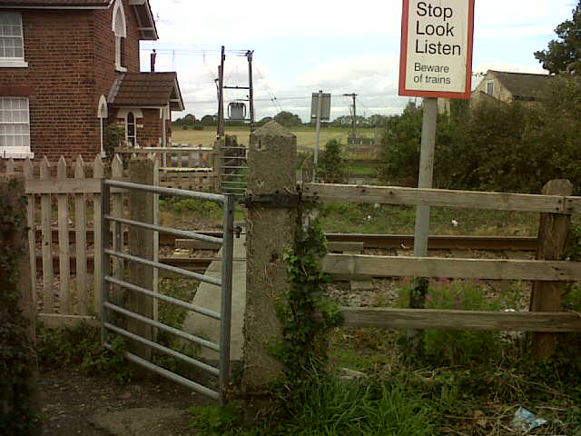
We don't yet have any user-contributed photos of Church Lane Level Crossing.