Latitude: 52.9024 / 52°54'8"N
Longitude: -2.1417 / 2°8'30"W
OS Eastings: 390566
OS Northings: 333894
OS Grid: SJ905338
Mapcode National: GBR 15Q.5B1
Mapcode Global: WHBDF.29FS
Pluscode: 9C4VWV25+X8
What3Words: mountains.ringside.rapid
Is the location marker in the wrong place? You can help fix that!
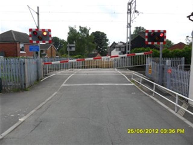
We don't yet have any user-contributed photos of Church Lane Level Crossing.