Latitude: 52.5146 / 52°30'52"N
Longitude: -1.5713 / 1°34'16"W
OS Eastings: 429191
OS Northings: 290829
OS Grid: SP291908
Mapcode National: GBR 5JF.CK7
Mapcode Global: VHBWJ.Q264
Pluscode: 9C4WGC7H+RF
What3Words: elders.elects.ridge
Is the location marker in the wrong place? You can help fix that!
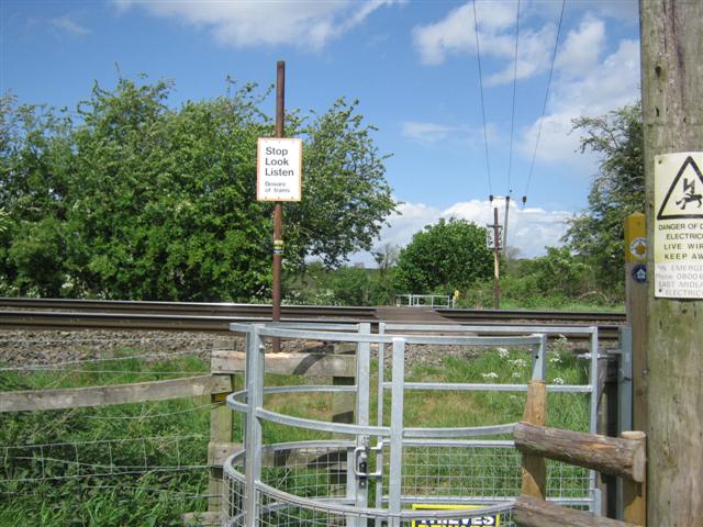
We don't yet have any user-contributed photos of Churchbridge Level Crossing.