Latitude: 51.8775 / 51°52'38"N
Longitude: -2.1808 / 2°10'50"W
OS Eastings: 387648
OS Northings: 219893
OS Grid: SO876198
Mapcode National: GBR 1L2.7GL
Mapcode Global: VH94D.42YK
Pluscode: 9C3VVRG9+XM
What3Words: grows.eagle.majoring
Is the location marker in the wrong place? You can help fix that!
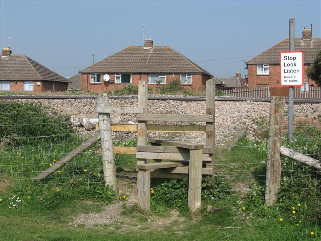
We don't yet have any user-contributed photos of Churchdown 10 Level Crossing.