Latitude: 51.6802 / 51°40'48"N
Longitude: -3.7804 / 3°46'49"W
OS Eastings: 277002
OS Northings: 199440
OS Grid: SS770994
Mapcode National: GBR H3.5CV3
Mapcode Global: VH5GN.F198
Pluscode: 9C3RM6J9+3R
What3Words: task.hidden.twist
Is the location marker in the wrong place? You can help fix that!
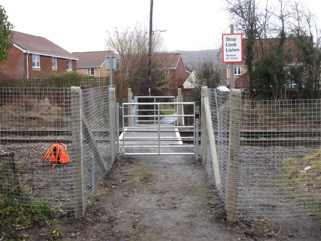
We don't yet have any user-contributed photos of Cilfrew 2 Level Crossing.