Latitude: 51.3777 / 51°22'39"N
Longitude: -2.3016 / 2°18'5"W
OS Eastings: 379102
OS Northings: 164337
OS Grid: ST791643
Mapcode National: GBR 0QL.DYJ
Mapcode Global: VH96N.2M2Q
Pluscode: 9C3V9MHX+38
What3Words: dots.less.improving
Is the location marker in the wrong place? You can help fix that!
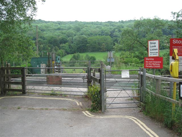
We don't yet have any user-contributed photos of Claverton Level Crossing.