Latitude: 52.8306 / 52°49'49"N
Longitude: -1.6109 / 1°36'39"W
OS Eastings: 426311
OS Northings: 325963
OS Grid: SK263259
Mapcode National: GBR 5DJ.FK8
Mapcode Global: WHCG6.734V
Pluscode: 9C4WR9JQ+6J
What3Words: formed.safe.boots
Is the location marker in the wrong place? You can help fix that!
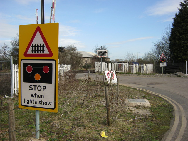
We don't yet have any user-contributed photos of Clay Mills Level Crossing.