Latitude: 53.493 / 53°29'34"N
Longitude: -2.1677 / 2°10'3"W
OS Eastings: 388970
OS Northings: 399603
OS Grid: SJ889996
Mapcode National: GBR FX91.HK
Mapcode Global: WHB9H.NGZJ
Pluscode: 9C5VFRVJ+6W
What3Words: focal.tooth.fever
Is the location marker in the wrong place? You can help fix that!
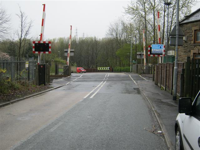
We don't yet have any user-contributed photos of Clayton Bridge Level Crossing.