Latitude: 55.6915 / 55°41'29"N
Longitude: -3.7363 / 3°44'10"W
OS Eastings: 290949
OS Northings: 645588
OS Grid: NS909455
Mapcode National: GBR 22BM.WL
Mapcode Global: WH5SK.L60P
Pluscode: 9C7RM7R7+HF
What3Words: covertly.polygraph.shifts
Is the location marker in the wrong place? You can help fix that!
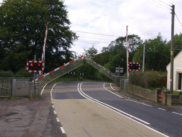
We don't yet have any user-contributed photos of Cleghorn Level Crossing.