Latitude: 53.5294 / 53°31'45"N
Longitude: -2.3357 / 2°20'8"W
OS Eastings: 377841
OS Northings: 403692
OS Grid: SD778036
Mapcode National: GBR DW4M.3J
Mapcode Global: WH983.3K04
Pluscode: 9C5VGMH7+QP
What3Words: bowls.engage.clown
Is the location marker in the wrong place? You can help fix that!
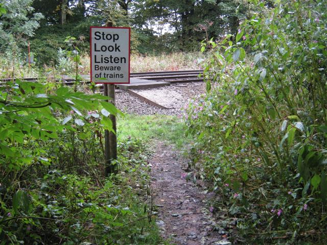
We don't yet have any user-contributed photos of Clifton Country Park Level Crossing.