Latitude: 53.6628 / 53°39'46"N
Longitude: -2.7825 / 2°46'57"W
OS Eastings: 348389
OS Northings: 418764
OS Grid: SD483187
Mapcode National: GBR 9V02.DQ
Mapcode Global: WH865.767C
Pluscode: 9C5VM678+4X
What3Words: hacksaw.glaze.projects
Is the location marker in the wrong place? You can help fix that!
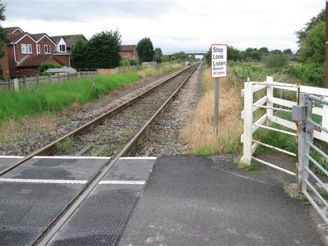
We don't yet have any user-contributed photos of Club Lane Level Crossing.