Latitude: 52.3978 / 52°23'52"N
Longitude: -2.9061 / 2°54'21"W
OS Eastings: 338444
OS Northings: 278143
OS Grid: SO384781
Mapcode National: GBR BB.Q16V
Mapcode Global: VH76C.LZ0Q
Pluscode: 9C4V93XV+4H
What3Words: node.special.ordeals
Is the location marker in the wrong place? You can help fix that!
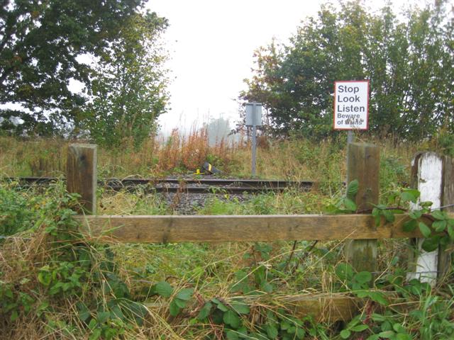
We don't yet have any user-contributed photos of Clungunford Estate Level Crossing.