Latitude: 51.3824 / 51°22'56"N
Longitude: 0.744 / 0°44'38"E
OS Eastings: 591043
OS Northings: 168394
OS Grid: TQ910683
Mapcode National: GBR RST.8XY
Mapcode Global: VHKJD.VJ52
Pluscode: 9F329PJV+XH
What3Words: opposites.ranged.confronts
Is the location marker in the wrong place? You can help fix that!
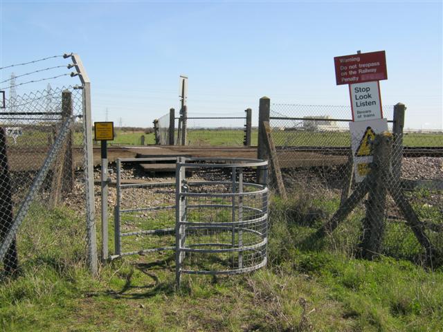
We don't yet have any user-contributed photos of Coachens Level Crossing.