Latitude: 51.4769 / 51°28'36"N
Longitude: 0.408 / 0°24'28"E
OS Eastings: 567320
OS Northings: 178078
OS Grid: TQ673780
Mapcode National: GBR NM7.7ZH
Mapcode Global: VHJLD.141M
Pluscode: 9F32FCG5+Q6
What3Words: renew.looked.slim
Is the location marker in the wrong place? You can help fix that!
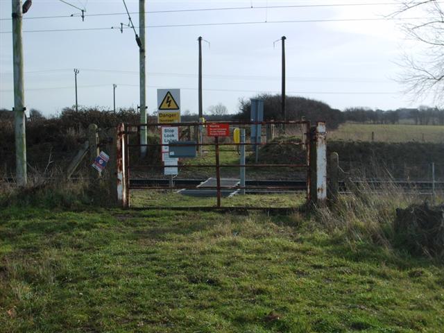
We don't yet have any user-contributed photos of Coal Road Level Crossing.