Latitude: 52.6414 / 52°38'29"N
Longitude: -2.483 / 2°28'58"W
OS Eastings: 367410
OS Northings: 304964
OS Grid: SJ674049
Mapcode National: GBR BW.6PDK
Mapcode Global: WH9D8.TVSW
Pluscode: 9C4VJGR8+HQ
What3Words: awestruck.guides.prep
Is the location marker in the wrong place? You can help fix that!
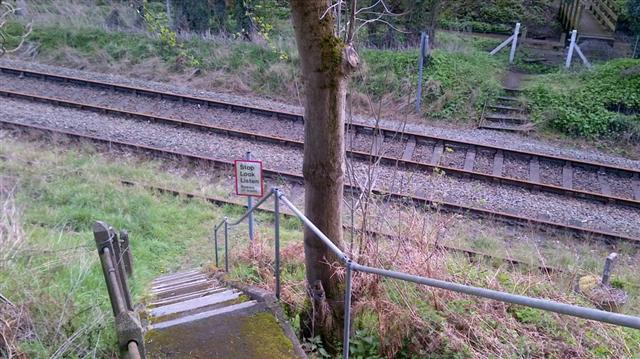
We don't yet have any user-contributed photos of Coalbrookdale Level Crossing.