Latitude: 52.0071 / 52°0'25"N
Longitude: -2.779 / 2°46'44"W
OS Eastings: 346621
OS Northings: 234578
OS Grid: SO466345
Mapcode National: GBR FH.HP9K
Mapcode Global: VH78C.ST58
Pluscode: 9C4V264C+R9
What3Words: acre.nerves.voltages
Is the location marker in the wrong place? You can help fix that!
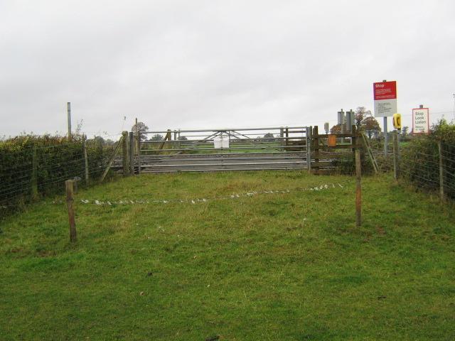
We don't yet have any user-contributed photos of Coedmoor Level Crossing.