Latitude: 50.9841 / 50°59'2"N
Longitude: 0.869 / 0°52'8"E
OS Eastings: 601468
OS Northings: 124435
OS Grid: TR014244
Mapcode National: GBR RYT.BHK
Mapcode Global: FRA D6QH.SFX
Pluscode: 9F22XVM9+JH
What3Words: noticing.indicates.cooking
Is the location marker in the wrong place? You can help fix that!
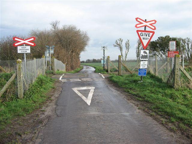
We don't yet have any user-contributed photos of Coldharbour Level Crossing.