Latitude: 50.6824 / 50°40'56"N
Longitude: -2.1882 / 2°11'17"W
OS Eastings: 386803
OS Northings: 86992
OS Grid: SY868869
Mapcode National: GBR 21K.5L8
Mapcode Global: FRA 6798.PC6
Pluscode: 9C2VMRJ6+XP
What3Words: armed.forgives.making
Is the location marker in the wrong place? You can help fix that!
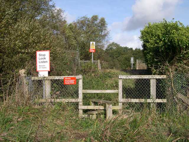
We don't yet have any user-contributed photos of Colemans Level Crossing.