Latitude: 50.9593 / 50°57'33"N
Longitude: 0.7496 / 0°44'58"E
OS Eastings: 593196
OS Northings: 121365
OS Grid: TQ931213
Mapcode National: GBR RYV.Y19
Mapcode Global: FRA D6GK.V5V
Pluscode: 9F22XP5X+PV
What3Words: shocks.weekday.coconuts
Is the location marker in the wrong place? You can help fix that!
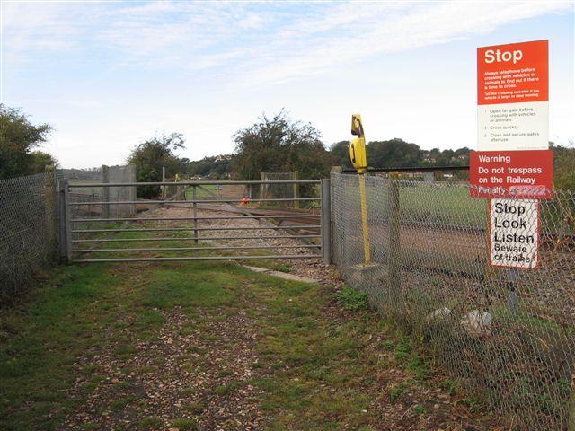
We don't yet have any user-contributed photos of Cookes Level Crossing.