Latitude: 53.7265 / 53°43'35"N
Longitude: -2.6247 / 2°37'28"W
OS Eastings: 358877
OS Northings: 425751
OS Grid: SD588257
Mapcode National: GBR BT3B.KW
Mapcode Global: WH96Z.NLBJ
Pluscode: 9C5VP9GG+J4
What3Words: galloped.valid.helm
Is the location marker in the wrong place? You can help fix that!
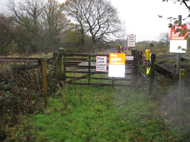
We don't yet have any user-contributed photos of Coopers Level Crossing.