Latitude: 56.8552 / 56°51'18"N
Longitude: -5.2784 / 5°16'42"W
OS Eastings: 200209
OS Northings: 778539
OS Grid: NN002785
Mapcode National: GBR FBBL.QZF
Mapcode Global: WH1FG.WYNM
Pluscode: 9C8PVP4C+3M
What3Words: tasters.entitles.washed
Is the location marker in the wrong place? You can help fix that!
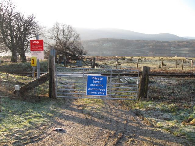
We don't yet have any user-contributed photos of Corriebeg Farm 1 Level Crossing.