Latitude: 57.9881 / 57°59'17"N
Longitude: -4.1573 / 4°9'26"W
OS Eastings: 272547
OS Northings: 901915
OS Grid: NC725019
Mapcode National: GBR J73M.2DK
Mapcode Global: WH4D0.3HL2
Pluscode: 9C9QXRQV+73
What3Words: insurance.perfectly.secrets
Is the location marker in the wrong place? You can help fix that!
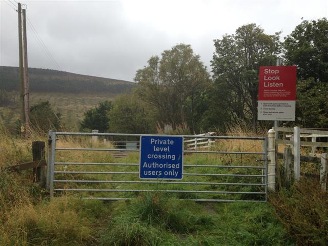
We don't yet have any user-contributed photos of Corry Farm Level Crossing.