Latitude: 50.8055 / 50°48'19"N
Longitude: -0.6594 / 0°39'33"W
OS Eastings: 494558
OS Northings: 101515
OS Grid: SU945015
Mapcode National: GBR FJN.G3G
Mapcode Global: FRA 96HY.YS9
Pluscode: 9C2XR84R+56
What3Words: going.orange.grape
Is the location marker in the wrong place? You can help fix that!
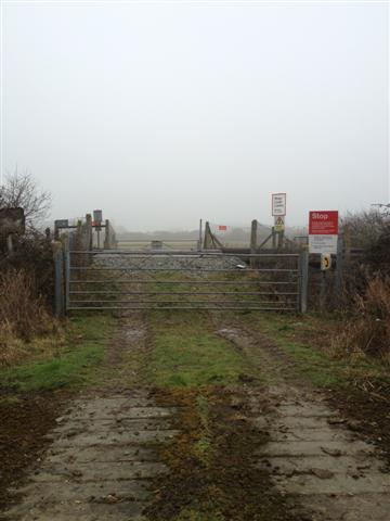
We don't yet have any user-contributed photos of Cow Lane Level Crossing.