Latitude: 52.321 / 52°19'15"N
Longitude: 1.0718 / 1°4'18"E
OS Eastings: 609447
OS Northings: 273658
OS Grid: TM094736
Mapcode National: GBR TJH.FSJ
Mapcode Global: VHL9D.JXHK
Pluscode: 9F4383CC+CP
What3Words: scornful.badge.sleep
Is the location marker in the wrong place? You can help fix that!
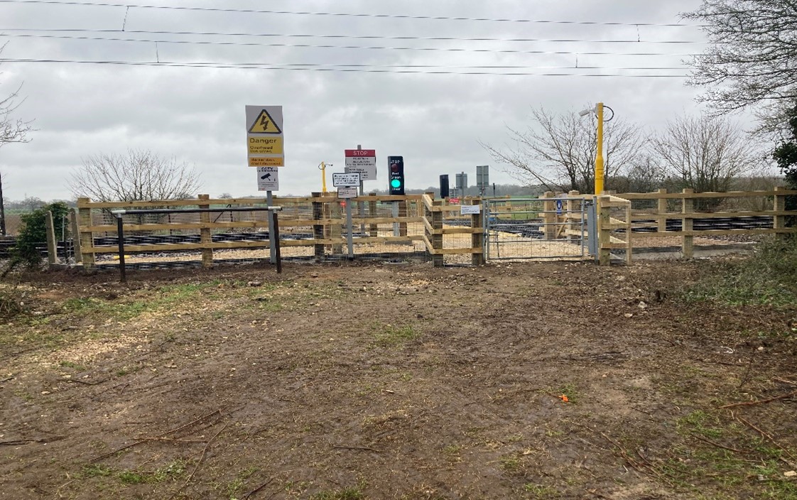
We don't yet have any user-contributed photos of Cow Pasture Lane Level Crossing.