Latitude: 52.3616 / 52°21'41"N
Longitude: -2.9341 / 2°56'2"W
OS Eastings: 336488
OS Northings: 274140
OS Grid: SO364741
Mapcode National: GBR B9.S6BN
Mapcode Global: VH76K.3W7Y
Pluscode: 9C4V9368+J9
What3Words: blackbird.trouser.goggle
Is the location marker in the wrong place? You can help fix that!
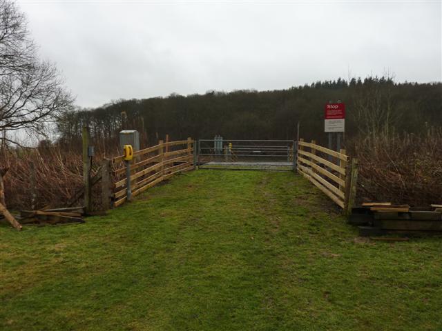
We don't yet have any user-contributed photos of Coxhall Farm 2 Level Crossing.