Latitude: 52.188 / 52°11'16"N
Longitude: 0.2146 / 0°12'52"E
OS Eastings: 551485
OS Northings: 256724
OS Grid: TL514567
Mapcode National: GBR M8Y.T7V
Mapcode Global: VHHKB.N8SK
Pluscode: 9F4256Q7+5R
What3Words: inventors.ferrying.younger
Is the location marker in the wrong place? You can help fix that!
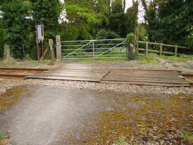
We don't yet have any user-contributed photos of Coxs Drove Level Crossing.